


The new political map of Britain correlates with the locations of the country’s coalfields
Britons can now drive from Land’s End to Scotland without leaving a Conservative constituency but what is truly fascinating about the new political map of Britain is that it correlates to the locations of our country’s coalfields.
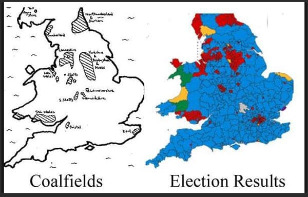
Contrasted in an image shared on Facebook by Nick Cookson, these two maps illustrate that constituencies that elected Labour outside of London mostly coincide with the coalfields of such places as East Lancashire, Northumberland and South Wales. The rest of the country is lit up blue.
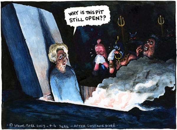
The legacy of mining lives on despite the decimation of that industry by Margaret Thatcher in the 1980s and as Tony Blair and Lord Mandelson warned yesterday, if Labour is to have any chance of avoiding a decade in exile, they must accept that they ought to be talking to a wider audience.
Subscribe to our free once daily email newsletter here: